Air travel connects millions of passengers daily through a global network of airports, airlines, and air traffic systems. Whether you are picking up a family member, planning a departure, or tracking a business flight, understanding airport arrivals and departures is essential for smooth travel management.
With modern AI-powered aviation systems, passengers can now access live flight status, real-time tracking, gate updates, delay notifications, and terminal information instantly. This comprehensive guide explains how airport arrival and departure systems work, how to check live schedules, and how smart airport technology improves the passenger experience.
What Are Airport Arrivals?
Airport arrivals refer to inbound flights landing at a specific airport from domestic or international destinations. Arrival management includes aircraft landing coordination, taxiing to gates, passenger disembarkation, baggage handling, immigration (for international flights), and ground transportation flow.
Key Information Available for Arrivals
When checking airport arrivals, you will typically find:
- Flight number
- Airline name
- Origin city
- Scheduled arrival time (STA)
- Estimated time of arrival (ETA)
- Arrival terminal
- Gate information
- Baggage claim belt number
- Delay or cancellation status
Real-time arrival tracking helps families, taxi drivers, airport transfer services, and business travelers plan accurately and avoid long waiting times.
What Are Airport Departures?
Airport departures refer to outbound flights leaving the airport toward domestic or international destinations. Departure management includes passenger check-in, baggage drop, security screening, boarding procedures, aircraft pushback, and takeoff clearance.
Key Information Available for Departures
When checking airport departures, passengers can see:
- Flight number
- Destination city
- Scheduled departure time (STD)
- Estimated departure time (ETD)
- Boarding time
- Gate number
- Terminal
- Flight status (On-Time, Delayed, Cancelled)
Monitoring live departure status is crucial to avoid missing flights due to gate changes, boarding time adjustments, or unexpected delays.
How to Check Live Airport Arrivals and Departures
Today’s travelers can access real time airport flight information through multiple digital platforms:
1. Official Airport Websites
Most international airports provide live arrival and departure boards updated in real time.
2. Airline Websites & Mobile Apps
Airlines provide flight-specific updates including check-in options, gate changes, and boarding alerts.
3. Live Flight Tracker Platforms
AI-powered flight tracking tools show aircraft movement, estimated landing times, and real-time route maps.
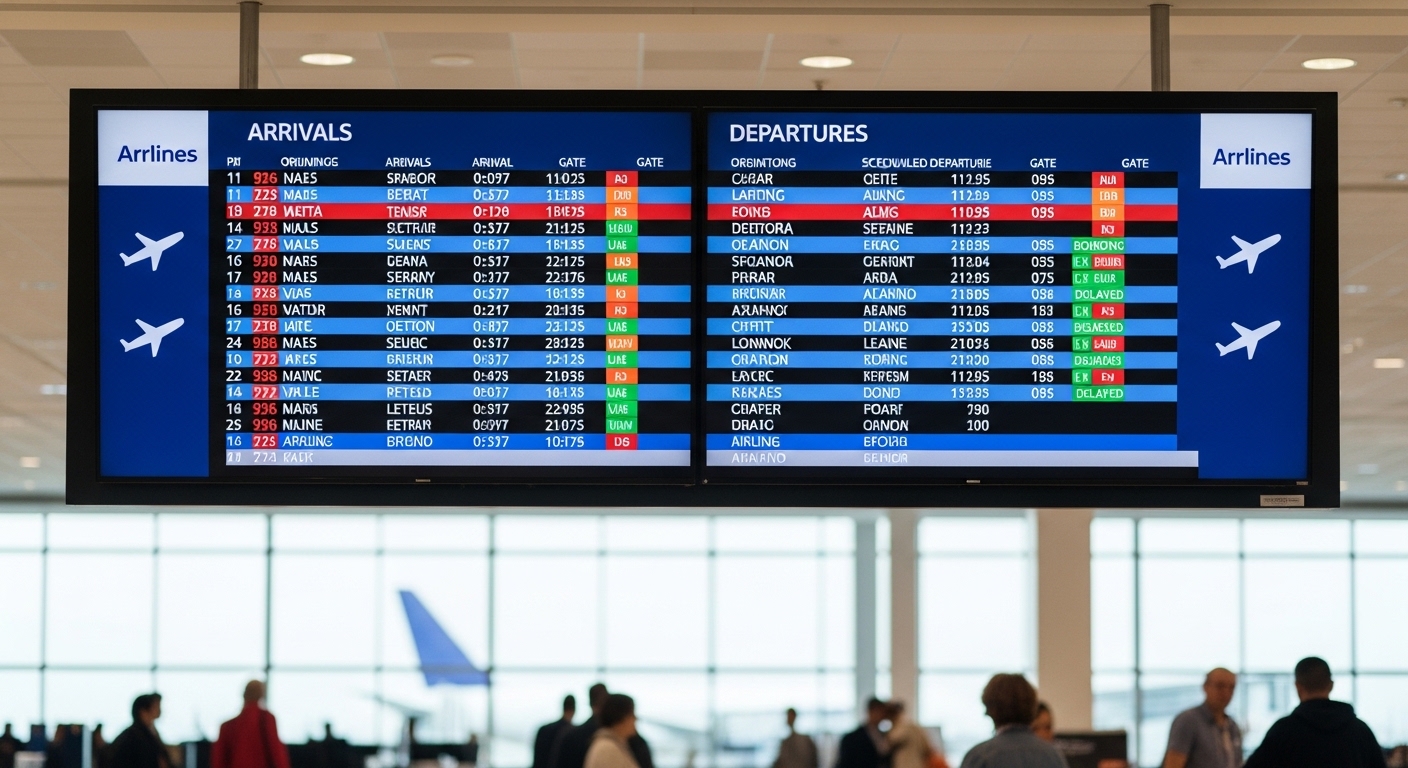
4. Airport Information Screens
Physical display boards inside terminals provide updated arrival and departure schedules.
Using digital flight tracking ensures accurate and up-to-date information for both arrivals and departures.
Why Real-Time Flight Tracking Is Important
Modern airports rely on advanced AI systems, aviation data networks, and air traffic control systems to maintain accurate scheduling.
Benefits of Live Flight Tracking
- Reduces passenger uncertainty
- Improves airport pickup planning
- Enhances travel time management
- Minimizes waiting time
- Provides predictive delay alerts
- Improves airport crowd control
AI systems analyze weather conditions, air traffic congestion, aircraft rotation schedules, and operational performance to provide dynamic updates.
Common Reasons for Flight Delays
Understanding why flights are delayed can help passengers plan better.
1. Weather Conditions
Fog, thunderstorms, heavy rain, snow, or strong winds can delay arrivals and departures.
2. Air Traffic Congestion
Busy airspace and runway limitations can cause departure queues.
3. Technical or Maintenance Issues
Aircraft safety checks may lead to schedule adjustments.
4. Crew Availability
Operational constraints can impact flight schedules.
5. Airport Operational Constraints
Runway maintenance or gate unavailability may affect flight timing.
Real-time updates allow passengers to adjust transportation plans accordingly.
International Arrivals vs Domestic Arrivals
Domestic Arrivals
- Faster disembarkation
- No immigration clearance
- Quick baggage collection
International Arrivals
- Immigration procedures
- Customs checks
- Longer baggage processing times
Passengers tracking international arrivals should allow extra time due to border control formalities.
International Departures vs Domestic Departures
Domestic Departures
- Arrive 1.5–2 hours before departure
- Standard security screening
International Departures
- Arrive 2–3 hours early
- Passport control
- Customs declaration
- Additional security procedures
Monitoring departure updates is especially important for international flights due to stricter processing requirements.
Smart Airport Technology and AI Integration
Modern airports are transforming into smart aviation hubs using AI, automation, and predictive analytics.
Key Technologies Used in Airport Arrivals and Departures
- AI-based predictive delay systems
- Biometric boarding gates
- Automated check-in kiosks
- Smart baggage tracking systems
- Digital twin airport simulations
- Real-time aviation data integration
These technologies improve operational efficiency, safety standards, and passenger satisfaction.
Passenger Tips for Smooth Airport Arrivals
- Check live arrival status before leaving for pickup
- Confirm terminal and gate information
- Monitor baggage claim belt numbers
- Consider traffic conditions when traveling to the airport
- Stay updated on delay notifications
Planning based on real-time data prevents unnecessary waiting.
Passenger Tips for Smooth Airport Departures
- Complete online check-in in advance
- Arrive early, especially for international flights
- Monitor departure gate changes
- Keep travel documents ready
- Enable airline app notifications
Staying informed about live departure status reduces stress and ensures a smooth boarding process.
Conclusion
Airport arrivals and departures are the backbone of global air transportation. With access to live flight status, real-time tracking, and AI-powered updates, travelers can make informed decisions and plan efficiently.
Whether you are tracking an incoming flight, preparing for departure, or managing airport transfers, staying updated with accurate arrival and departure information ensures a smooth and stress-free airport experience.
Frequently Asked Questions.
How do I check if a flight has landed?
You can check flight arrival status using the airport website, airline app, or live flight tracker by entering the flight number.
What does ETA mean in airport arrivals?
ETA stands for Estimated Time of Arrival, which indicates the predicted landing time based on real-time tracking.
How early should I reach the airport for departure?
Arrive 1.5–2 hours before domestic departures and 2–3 hours before international departures.
Why do departure gates change frequently?
Gate changes occur due to aircraft scheduling adjustments, operational requirements, or air traffic control instructions.
Can I track a flight in real time?
Yes, AI-powered flight tracking platforms provide real-time aircraft location, route map, and status updates.