Introduction
When tracking a flight on a map, you may notice aircraft taking longer or curved routes instead of flying straight. This is not random. It raises an important question:
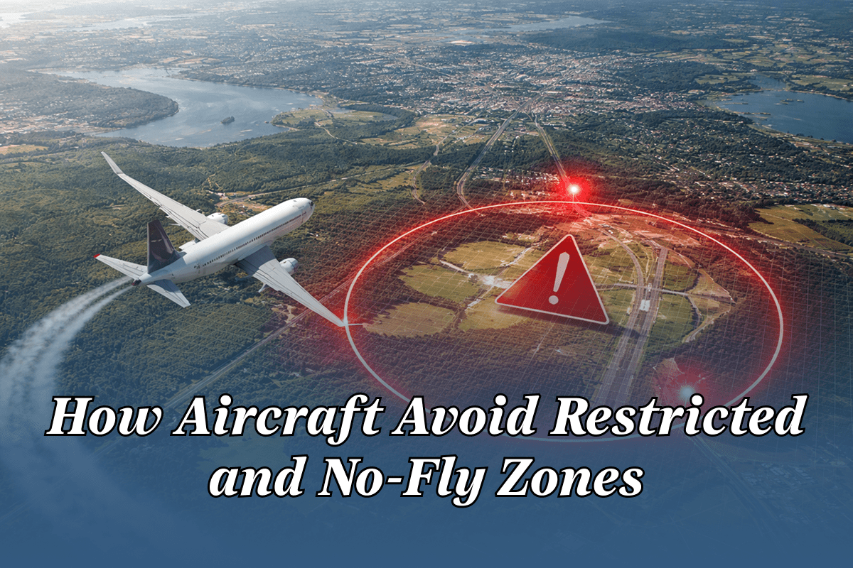
How do aircraft avoid restricted and no-fly zones?
The answer lies in international aviation laws, AI-powered flight planning systems, real-time airspace intelligence, and strict air traffic control coordination. This article explains how modern aircraft safely navigate global airspace while avoiding prohibited regions—before and during flight.
What Are Restricted and No-Fly Zones?
Restricted Airspace
Restricted airspace allows limited flight operations under specific conditions. These areas may include:
- Military training zones
- Space launch corridors
- Government-controlled regions
- Temporary security areas
Aircraft may only enter with authorization.
No-Fly Zones
No-fly zones completely prohibit civilian aircraft. These are enforced due to:
- Armed conflicts or war zones
- National security concerns
- Sensitive government locations
- Natural disasters or emergencies
Violating no-fly zones can lead to severe legal and safety consequences.
Who Controls Airspace Restrictions?
Airspace restrictions are governed by:
- ICAO (International Civil Aviation Organization) – https://www.icao.int
- FAA (United States) – https://www.faa.gov
- EASA (Europe) – https://www.easa.europa.eu
- National aviation authorities worldwide
Restrictions are published through NOTAMs (Notices to Airmen).
How Aircraft Avoid Restricted and No-Fly Zones (Step-by-Step)
1. Pre-Flight Route Planning (AI-Driven)
Before takeoff, airlines use AI-powered flight planning systems that analyze:
- Global airspace restrictions
- Active NOTAMs
- Political and military risk zones
- Weather conditions
- Fuel efficiency requirements
The system automatically generates safe, compliant routes that avoid prohibited airspace.
2. NOTAMs: Real-Time Airspace Intelligence
NOTAMs provide critical updates about:
- Temporary flight restrictions (TFRs)
- Closed airspace
- Military exercises
- Emergency airspace changes
Pilots and flight planners receive continuous NOTAM updates, ensuring compliance throughout the journey.
🔗 Learn more:
3. Digital Airspace Maps & Geofencing
Modern aircraft navigation systems include:
- High-resolution digital airspace charts
- Geofencing technology
- Automated alerts when nearing restricted zones
If an aircraft approaches prohibited airspace, the system immediately warns the flight crew and suggests alternate paths.
4. Air Traffic Control (ATC) Coordination
Air Traffic Control plays a key role by:
- Monitoring aircraft positions in real time
- Issuing heading or altitude changes
- Preventing airspace violations
ATC uses radar, ADS-B, and satellite surveillance to maintain separation and compliance.
5. In-Flight Rerouting Using AI
Airspace restrictions can change mid-flight due to:
- Military activity
- Political emergencies
- Natural disasters
AI systems recalculate routes in real time to:
- Avoid restricted regions
- Minimize fuel burn
- Reduce arrival delays
This ensures dynamic safety and efficiency.
Do Pilots See Restricted Zones in the Cockpit?
Yes. Pilots have access to:
- Live navigation displays
- Highlighted restricted airspace zones
- Continuous ATC communication
Entering restricted airspace unintentionally is extremely rare in commercial aviation.
How Flight Trackers Show No-Fly Zone Avoidance
Flight tracking platforms visually display:
- Curved or detoured flight paths
- Sudden rerouting around conflict zones
- Altitude or heading changes
Popular flight tracking websites include:
- LiveFlightsTracker – https://liveflightstracker.com/
- FlightRadar24 – https://www.flightradar24.com
- FlightAware – https://www.flightaware.com
- RadarBox – https://www.radarbox.com
These paths reflect real-world regulatory compliance, not pilot error.
What Happens If an Aircraft Enters a No-Fly Zone?
In rare cases:
- ATC attempts immediate communication
- Military aircraft may intercept
- Aircraft may be forced to reroute or land
Strict safety protocols prevent such incidents in modern aviation.
Role of AI in No-Fly Zone Avoidance
Predictive Risk Analysis
AI predicts:
- Geopolitical instability
- Potential airspace closures
- Conflict-driven route risks
Optimization & Cost Management
AI balances:
- Longer routes vs fuel costs
- Safety vs arrival time
- Alternate airports vs operational impact
Future of Airspace Management
Emerging innovations include:
- AI-driven global airspace monitoring
- Satellite-only surveillance systems
- Predictive conflict avoidance models
- Autonomous route negotiation
These advancements will make global aviation even safer and smarter.
Conclusion
Avoiding restricted and no-fly zones is a critical pillar of aviation safety.
Through AI-powered planning, real-time airspace intelligence, and strict regulatory enforcement, aircraft safely navigate an increasingly complex global sky.
Understanding this process highlights the technology and coordination behind every safe flight you take or track.
Frequently Asked Questions
How do planes know where no-fly zones are?
Through NOTAMs, digital navigation charts, AI systems, and ATC coordination.
Do commercial airlines fly over war zones?
Generally no. Airlines avoid conflict regions due to safety and insurance restrictions.
Are private aircraft subject to the same rules?
Yes. All aircraft must comply with airspace regulations.
Why do flight routes look curved on tracking maps?
Because aircraft avoid restricted zones and follow approved airways.
Leave a Reply