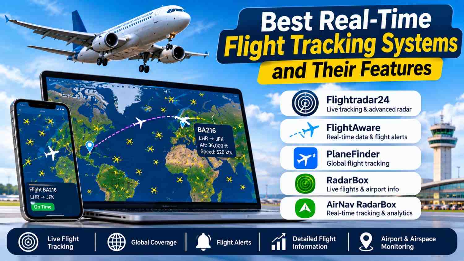
Every day, tens of thousands of aircraft cross the sky, and anyone with a phone can now watch them move. A traveler checks whether a relative’s plane has landed. An aviation enthusiast follows a rare freighter across the Atlantic. An airline operations team watches hundreds of aircraft at once. Behind all of these use cases sits the same idea: real-time flight tracking.
Modern tracking platforms combine radio signals, satellite positioning, ground receivers, and powerful data processing into live maps that update every few seconds. This guide explains how the technology works, which features matter most, which platforms lead the market, and how developers can build on live flight data through APIs.
How Real-Time Flight Tracking Actually Works
Before comparing platforms, it helps to understand where the data comes from. Most live flight information originates from a handful of surveillance technologies.
Automatic Dependent Surveillance-Broadcast (ADS-B)
Automatic Dependent Surveillance-Broadcast, or ADS-B, is the backbone of modern flight tracking. An ADS-B equipped aircraft determines its own position using satellite navigation and then broadcasts that position, along with other data, roughly once per second. Anyone with a compatible receiver within range can pick up these messages. No special permission is required.
A typical ADS-B message includes the aircraft’s unique identifier, its position, altitude, speed, heading, and vertical rate. Because the broadcast is open and unencrypted, a worldwide community of volunteers has built networks of low-cost ground receivers that feed data to tracking platforms. This crowdsourced model is why coverage is so dense over populated regions.
Aircraft Transponder Data
Long before ADS-B, aircraft carried transponders that replied when interrogated by radar. Aircraft transponder data still matters today. Mode S transponders transmit a unique 24-bit address for each airframe, along with altitude information. Older Mode A and Mode C transponders provide a squawk code and pressure altitude.
Even when an aircraft does not broadcast full ADS-B data, its transponder replies can often be received and used. This makes transponder signals a valuable fallback and a cross-check for other sources.
GPS-Based Aircraft Tracking
ADS-B depends on GPS-based aircraft tracking at its core. The aircraft’s navigation system calculates its position from global navigation satellite signals and feeds that position into the transmitter. This is why ADS-B positions are generally more precise than older radar-derived ones, which depend on the geometry and range of a radar antenna.
GPS-based tracking is also used by satellite communication trackers on aircraft that operate beyond ground receiver coverage, such as over oceans and remote regions.
Multilateration and Satellite Reception
Two other techniques fill the gaps. Multilateration (MLAT) estimates the position of an aircraft by measuring the tiny differences in the time a signal arrives at several ground receivers. It works for aircraft that carry Mode S transponders but do not broadcast positions.
Space-based ADS-B receivers, carried on satellites, extend coverage to oceans, polar routes, and deserts where ground stations cannot be built. Together, these methods give modern platforms near-global coverage.
Aviation Surveillance Technology and Air Traffic Control Systems
Flight tracking for the public is built on aviation surveillance technology that was originally designed for safety. Air traffic control systems rely on a mix of primary radar, secondary surveillance radar, ADS-B, and in some regions wide-area multilateration to keep aircraft separated.
Controllers see aircraft as labeled targets on a display, with identification, altitude, speed, and flight plan information attached. Many air navigation service providers now use ADS-B as a primary or supplementary surveillance source, because it is accurate, updates quickly, and costs less to deploy than radar in remote areas.
Public tracking sites use a subset of the same signals, but they are not air traffic control systems. They do not direct aircraft, and their data should never be used for navigation or separation. What they offer is transparency: the general public can see roughly what controllers see, with a slight delay and with some limits on coverage and filtering.
Key Features of a Great Flight Tracking Platform
Not all trackers are equal. When evaluating a platform, these are the features that separate the best from the average.
Accurate Aircraft Identification
Good platforms make aircraft identification effortless. A single target should show the callsign, registration, aircraft type, operator, and the airports of origin and destination. Many also display a photo of the actual airframe and its history. Accurate identification relies on matching transponder addresses to registration databases and merging in schedule data.
Aircraft Speed and Altitude
Live aircraft speed and altitude readings tell the story of a flight at a glance. You can see whether an aircraft is climbing, cruising, or descending, and whether it is holding or deviating. The best platforms show ground speed, vertical rate, and heading, and let you view altitude and speed graphs over the course of the flight.
Flight Route Monitoring
Flight route monitoring lets users follow a flight from departure to arrival. Useful tools include the planned route, the actual track flown, estimated arrival times, and alerts for delays, diversions, or gate changes. For frequent travelers, notifications can be more valuable than the map itself.
Flight Path Visualization
Flight path visualization is where design matters. Strong platforms offer smooth map animation, color-coded altitude trails, 3D views, and playback of historical flights. Playback is especially useful for reviewing weather deviations, holding patterns, or go-arounds after an event.
Aircraft Position Updates and Latency
Aircraft position updates should arrive quickly and consistently. In areas with dense receiver coverage, updates can arrive every second or two. Over oceans, updates may be much less frequent. A platform that is transparent about data sources and latency is more trustworthy than one that hides them.
Live Flight Information
Beyond the map, live flight information includes departure and arrival boards, airport weather, runway information, and airline schedules. This is the information most travelers actually want: is the flight on time, and where is it now?
The Best Real-Time Flight Tracking Systems
Several platforms stand out. Features and pricing change frequently, so check each provider’s current offering before committing.
Flightradar24
Flightradar24 is probably the best-known consumer flight tracker. It combines a very large network of ADS-B receivers with MLAT, satellite data, and air traffic control feeds. Its strengths are an intuitive interactive map, a polished mobile app, detailed aircraft pages with photos, 3D and cockpit views, and flight history and playback on paid tiers. It is a strong all-around choice for travelers and enthusiasts who want a good experience out of the box.
FlightAware
FlightAware has a long history in aviation data and is heavily used by both the public and the industry. In addition to its tracking map, it provides detailed flight status, airport delay information, and notifications. FlightAware is especially notable for its data services, including its AeroAPI product for developers and business tools aimed at airlines, airports, and aviation businesses. If you need reliable status data and a path to integration, it is one of the first places to look.
ADS-B Exchange
ADS-B Exchange is known for publishing unfiltered data. Where many platforms block or hide certain aircraft at the request of owners, ADS-B Exchange has positioned itself around showing everything that receivers pick up. This appeals to researchers, journalists, and enthusiasts who want raw, community-sourced data. It may feel less polished than consumer-focused competitors, but its openness is its main feature.
Plane Finder
Plane Finder offers a clean interface, an augmented reality mode that identifies aircraft overhead through your phone camera, and its own receiver network. It is a good option for people who like to point their phone at the sky and see what is flying by.
RadarBox
RadarBox offers global coverage with a particular focus on data products for aviation professionals. It supports live maps, airport views, historical data, and business-oriented analytics. It is also worth considering for teams that want data feeds along with a visual interface.
The OpenSky Network
The OpenSky Network is a community-based receiver network aimed largely at research and education. It provides access to raw surveillance data for academic and non-commercial purposes, making it popular among researchers studying air traffic patterns, emissions, and safety. For students and scientists, it is a valuable resource.
Flight Data Monitoring and Aviation Data Analytics
Real-time tracking is only the surface. Behind many platforms sits a layer of flight data monitoring and aviation data analytics that turns raw positions into insight.
Airlines and airports use analytics to measure on-time performance, predict delays, and optimize fuel burn and routing. Airport planners study approach patterns and noise exposure. Researchers use historical tracks to measure the effect of weather, congestion, or policy changes on flight paths. Journalists use flight data to verify events and follow the movements of specific aircraft.
For these users, historical archives, bulk data downloads, and clean data schemas matter as much as the live map. When you evaluate a platform for analytics, ask how far back the history goes, how complete it is, and how easily it can be exported.
Real-Time Flight Information APIs for Developers
If you are building an app, dashboard, or internal tool, a real-time flight information API is the way to bring live data into your own product. Most providers expose REST endpoints that return JSON, and some also offer streaming feeds for continuous updates.
Typical API capabilities include:
- Live positions for aircraft within a bounding box or around an airport.
- Flight status lookups by callsign, flight number, or registration.
- Airport boards for scheduled and actual departures and arrivals.
- Historical tracks for past flights.
- Push alerts for status changes, delays, and diversions.
When choosing an API, consider the following:
- Coverage and accuracy. Does the provider have strong receiver density in the regions you care about?
- Latency. Is data delivered within seconds, or on a delay?
- Rate limits and pricing. Some plans are built for hobby projects, others for enterprise volume.
- Licensing. Check whether you can display the data publicly, redistribute it, or use it commercially.
- Documentation and support. Clear docs and example code save significant development time.
Several providers, including FlightAware, Flightradar24, and others, offer developer access, and community-driven sources provide data for research and non-commercial use. Always review current terms of service before building a product on top of any feed.
Limitations and Privacy Considerations
Flight trackers are powerful, but they have limits. Coverage can be thin over remote areas, and not every aircraft broadcasts ADS-B. Military and some government aircraft may not appear, or may appear only partially. Some operators can request filtering of their aircraft on certain platforms, and others can use privacy programs that obscure ownership details.
Data can also be delayed, incomplete, or occasionally wrong, especially when a signal is blocked or a transponder is misconfigured. Treat public trackers as a convenient information source, not as an authoritative or safety-critical system. For operational decisions, aviation professionals rely on official sources and certified systems.
There is also an ongoing public discussion about privacy, particularly for private aircraft. Anyone building tools on top of flight data should think carefully about how the information is presented and used.
How to Choose the Right Flight Tracking System
The best option depends on who you are.
- Travelers who want simple, reliable flight status and alerts will do well with a polished consumer app that offers notifications and airport information.
- Aviation enthusiasts will appreciate rich aircraft detail, photo databases, historical playback, and visualization tools.
- Researchers and journalists may prefer platforms with unfiltered data, bulk downloads, or open research access.
- Developers and businesses should prioritize API quality, licensing terms, scalability, and support.
- Airline and airport teams may need enterprise analytics, integration with operational systems, and service-level guarantees.
Trying a free tier, or testing two platforms side by side on a flight you know well, is often the quickest way to learn which one fits your needs.
The Future of Global Aviation Tracking
Global aviation tracking is evolving quickly. Space-based ADS-B continues to improve coverage over oceans and polar routes. More aircraft are being equipped with ADS-B, and regulators in many regions are expanding requirements for it. Machine learning is being applied to predict arrival times, delays, and congestion more accurately than schedules alone can. And as data becomes easier to access, new applications keep appearing, from emissions monitoring to smarter airport operations.
For users, the result is a steady improvement in accuracy, coverage, and tools. The line between consumer tracking and professional aviation data keeps getting thinner.
Conclusion
Real-time flight tracking turns invisible radio signals into a live picture of the world’s skies. ADS-B, transponder data, GPS-based tracking, multilateration, and satellite reception work together to deliver accurate aircraft position updates, speed and altitude readings, and route information to anyone with an internet connection.
Platforms such as Flightradar24, FlightAware, ADS-B Exchange, Plane Finder, RadarBox, and the OpenSky Network each bring a different balance of polish, openness, and data depth. Whether you are following a loved one’s flight, analyzing air traffic patterns, or building an app on a real-time flight information API, understanding the technology behind the map helps you choose the right tool and use it well.
The skies are busier and more connected than ever. With the right tracking system, you can watch it all unfold in real time.
Leave a Reply